
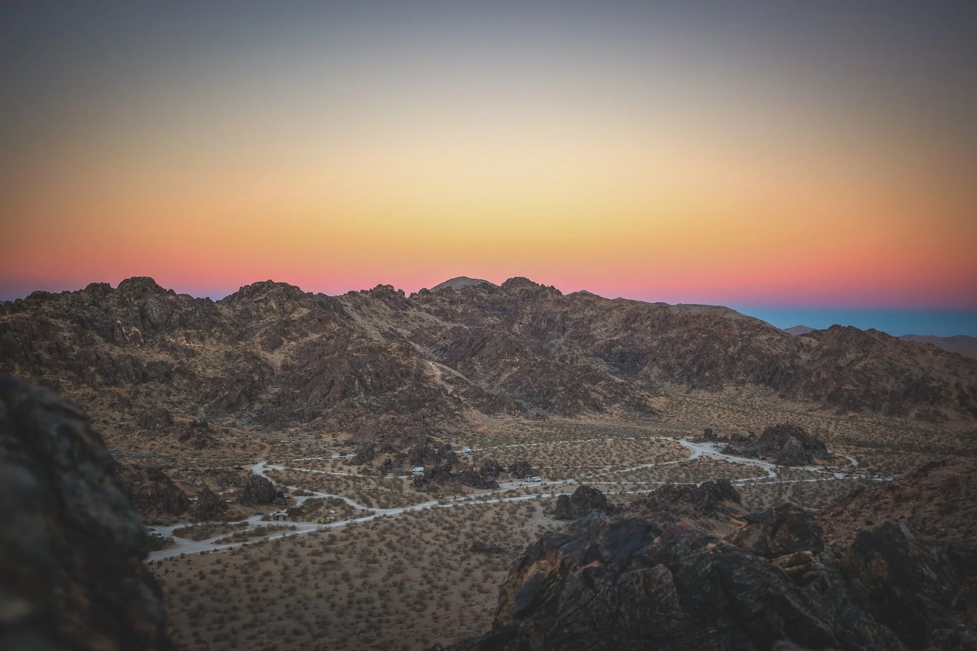
BLM Dispatch #48 - BLM Campgrounds in the Mojave and Colorado Deserts
Over the past six months, we’ve traveled together across the Mojave, Sonoran, and Colorado deserts of the American Southwest. But every desert season eventually comes to an end, and though people live in the desert — and though the temperatures haven’t yet reached their true boiling point — every May my body, brain, and spirit begin quietly saying goodbye.
I have already covered the BLM campgrounds in California’s Eastern Sierra in Dispatch #5, but now to close out the season, I wanted to shift to some of my favorites in California’s Mojave (and Colorado) deserts…
—
Dispatch #43 - Chuckwalla National Monument Part 2
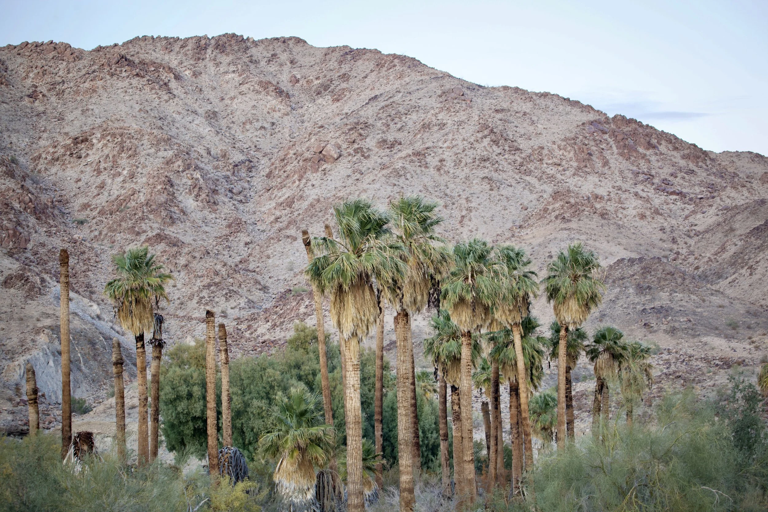
I have spent a lot of time wandering this small patch of land over the years, learning its contours both on foot and on the map. Its shape is an imperfect circle, 9.6 miles in circumference, enclosing roughly 3,382 acres of rocky ridges, sandy washes, and hidden oases centered around Corn Springs, a loop of green where trees, shrubs, cacti, and wildflowers hold their ground against the desert.
The dark yellow marks BLM land designated as Wilderness, the highest level of protection we have for land in the United States. The aqua square is California State Lands. The small gray parcels are privately owned, held by miners who laid claims here long ago.
And that light patch of yellow where I’ve been roaming, the area roughly encircled in red on the map, was BLM land without formal protections.
That changed with the creation of Chuckwalla National Monument. More than 624,270 acres in California’s southeast corner now carry a shared name and a shared protection, bringing together long-designated Wilderness with 375,747 acres of previously unprotected BLM land.
—
