
BLM Dispatch #58 - Conway Summit, California
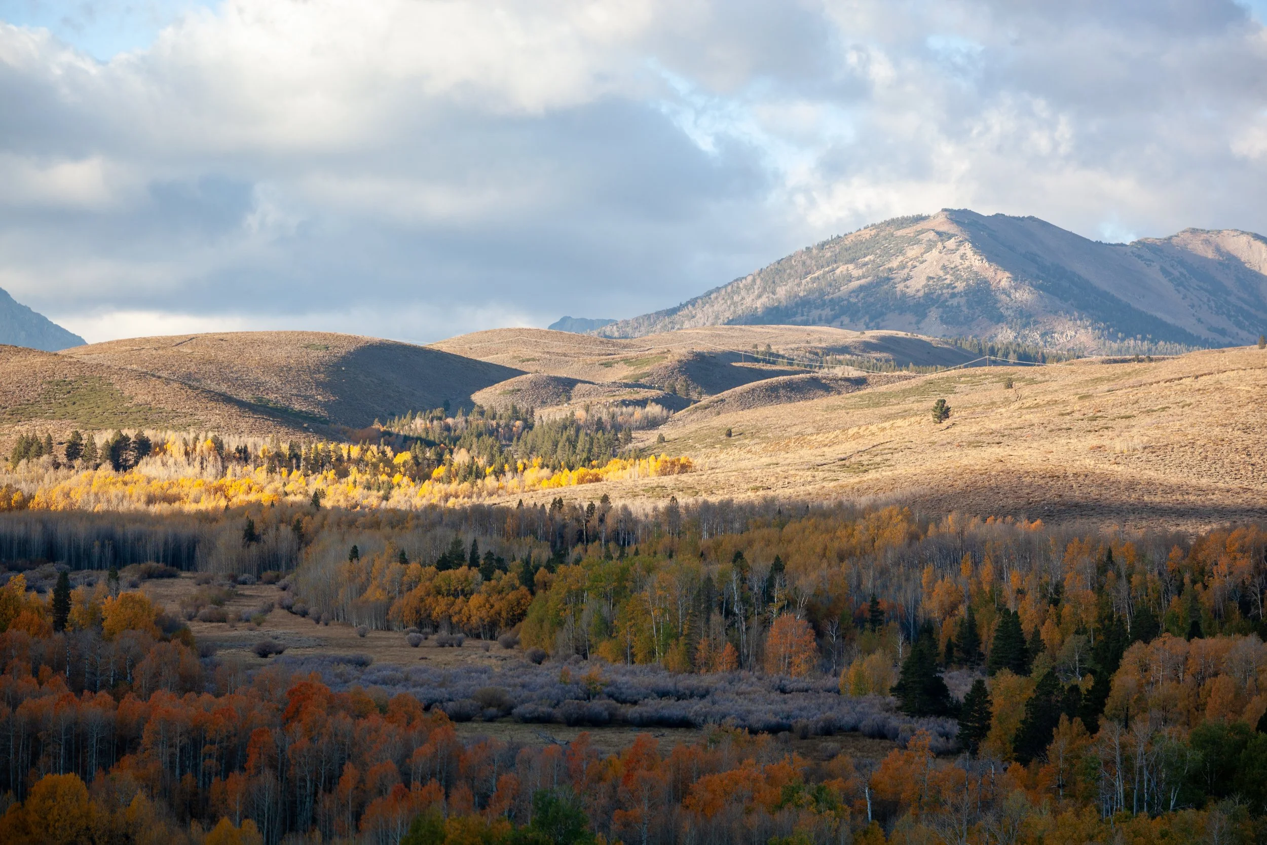
This was my fifth autumn in a row to visit the gold and crimson leaves of the almighty aspen, a tree I admire with as much fervor as the sycamores in my neighborhood and the redwoods dotting California’s lost coast.
At 8,143 feet in elevation, the Conway Summit is the highest point along Highway 395, which runs 1305 miles from the Mojave Desert to the Canadian border. To the southeast, Mono Lake shimmers in the distance beneath the evening shadow of the Sierra Nevada. Farther to the west of the summit is the Toiyabe National Forest, with Dunderberg’s double peak the most visible mountain.
But just off the 395, before you run into the Toiyabe, there are thousands of acres of accessible BLM lands within the Conway Summit Area of Critical Environmental Concern. Green and Virginia Creeks run through here, which meander through stands of mature Lodgepole Pine, with fields of Big Sagebrush taking up any patch of earth not covered by forest shade…
—
